


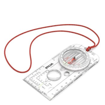
A magnifier, millimetre and inch scales Sapphire jewel bearing for friction free movement of the compass needle. Romer scales: 1:40.000, 1:50.000, 1:25.000 Features silicon rubber feet for precision map work Durable hot-stamping of scales/graduations Night-enabling luminous markings
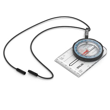
The 'field' is the conventional successor version of the SILVA field 7, the probably best selling compass of the world classic. As one dough er compass, it is particularly suitable for students, Scouts and hikers. As the field of 7, he also has the soft, non-slip case from Dryflex and will be a reliable companion in all situations. Of course, he offers all other features of its predecessor, such as the millimeter scale. Includes removable strap.
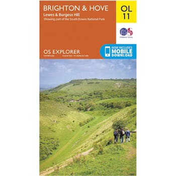
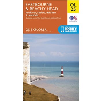
Explore East Sussex's most picturesque region, from the South Downs National park and Seven Sisters to deep into the High Weald.
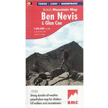
Waterproof mountain map of Ben Nevis & Glen Coe from Harvey at 1:40,000, with a geological map of the region on the reverse, an enlargement of Ben Nevis’ summit, and advice on navigating the region safely.
MAIN MAP:
Topography is shown through clear altitude shading, spot heights, contours at 15m intervals, and index contours at 75m intervals. A variety of symbols are used to show terrain detail, such as caves/mines, major and climbing crags, shafts, sinkholes, cairns, and large boulders. The map is GPS compatible, with the National Grid overprinted on the cartography.
Rights of way shown include tracks, long distance and intermittent paths. Road detail includes minor, residential and forest roads; railway lines and stops are marked, as are chairlifts and ski tows. Points of interest and facilities such as campsites, information points, and mountain rescue post are prominently highlighted.
ENLARGEMENTS: The summit of Ben Nevis is shown at 1:15,000, with a description of how to get to and from the summit.
GEOLOGICAL MAP:
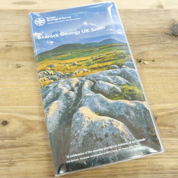
The reverse shows a geological map of the region from the British Geological Survey, with detailed relief shading and colours used to denote different types of rock. There is additional written geological information, as well as a geological timeline of the region.
ADDITIONAL INFORMATION: There is also information on emergency procedures, navigating the region safely, and useful contact numbers are provided. There are also lists of local climbing venues, mountaineering club huts, and mountain bothies.
Printed on tough, hard-wearing polyethylene, the map is waterproof, and tear-resistant, and comes in a clear plastic wallet.
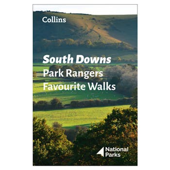
Walking guide to the South Downs National Park, with 20 best routes chosen by the park rangers. Each walk varies in length from 2 to 10 km and can be completed in less than 4 hours. 20 best routes chosen and written by National Park rangers.

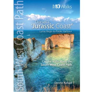
The ten walks featured here highlight the best short circular walks along Dorset's iconic 'Jurassic Coast' section of the South West Coast Path. The Dorset coast is perhaps the most varied of the whole south western peninsula, encompassing glorious beaches, towering cliffs, detached stacks, long shingle banks and picturesque coves and inlets. The handiwork of man both past and present is there too, in settlement, quarrying and even oil extraction. But there is little to detract from the coast's overall beauty - and the coast's huge range of habitats is reflected in the sheer abundance of flowers and wildlife you'll experience along the way.