
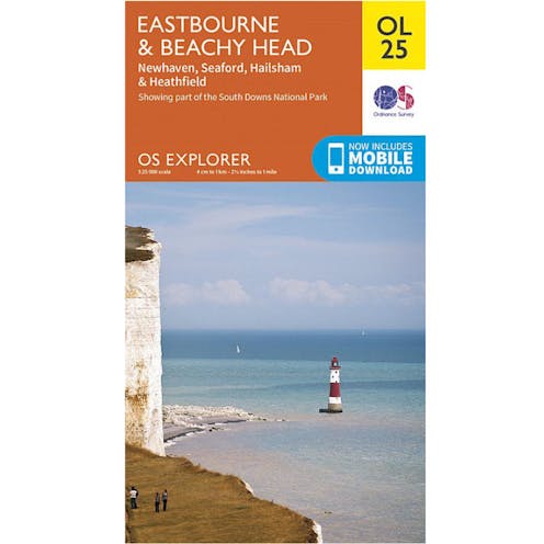
Ordnance Survey Explorer Map OL25 - Eastbourne and Beachy Head

Explore East Sussex's most picturesque region, from the South Downs National park and Seven Sisters to deep into the High Weald.
Fast Delivery
We deliver to all addresses across the United Kingdom. Most products can be delivered on either a 1-2 working day or 3-5 working day delivery service via Royal Mail or APC.
Non-conveyable and oversized products such as Paddles & Kayaks incur larger delivery charges due to their awkard shape and involve some restrictions on postcodes outside of England.
For oversized parcels to postcodes in Ireland & Scotland, please consider these additional costs, or alternatively, email in before purchasing as we'll be able to provide a tailored quote for your delivery service.
For more information, please see our deliveries page.
Description
The OS Explorer the Eastbourne and Beachy Head map gives you everything you need to explore from Uckfield to Newhaven and Heathfield to Eastbourne. Ideal Map to explore the Eastern South Downs National Park and High Weald. OS Explorer Map is the Ordnance Survey's most detailed map and is recommended for anyone enjoying outdoor activities like walking, horse riding and off-road cycling. Providing complete GB coverage the series details essential information such as youth hostels, pubs and visitor information as well as rights of way, permissive paths and bridleways.
Specifications:
- Explorer 1:25,000 Scale - Every 4cm on the map is 1km.
- Publisher: Ordnance Survey
- Published Date: September 2015
- Edition: 2015 ed
- Topographic mapping
Specification
Type | Maps |
|---|---|
| Mountaineering | |
Material | Weatherproof, Standard, |