
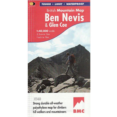
Harvey Maps Ben Nevis & Glen Coe

Waterproof mountain map of Ben Nevis & Glen Coe from Harvey at 1:40,000, with a geological map of the region on the reverse, an enlargement of Ben Nevis’ summit, and advice on navigating the region safely.
MAIN MAP:
Topography is shown through clear altitude shading, spot heights, contours at 15m intervals, and index contours at 75m intervals. A variety of symbols are used to show terrain detail, such as caves/mines, major and climbing crags, shafts, sinkholes, cairns, and large boulders. The map is GPS compatible, with the National Grid overprinted on the cartography.
Rights of way shown include tracks, long distance and intermittent paths. Road detail includes minor, residential and forest roads; railway lines and stops are marked, as are chairlifts and ski tows. Points of interest and facilities such as campsites, information points, and mountain rescue post are prominently highlighted.
ENLARGEMENTS: The summit of Ben Nevis is shown at 1:15,000, with a description of how to get to and from the summit.
GEOLOGICAL MAP:
The reverse shows a geological map of the region from the British Geological Survey, with detailed relief shading and colours used to denote different types of rock. There is additional written geological information, as well as a geological timeline of the region.
ADDITIONAL INFORMATION: There is also information on emergency procedures, navigating the region safely, and useful contact numbers are provided. There are also lists of local climbing venues, mountaineering club huts, and mountain bothies.
Printed on tough, hard-wearing polyethylene, the map is waterproof, and tear-resistant, and comes in a clear plastic wallet.
Fast Delivery
We deliver to all addresses across the United Kingdom. Most products can be delivered on either a 1-2 working day or 3-5 working day delivery service via Royal Mail or APC.
Non-conveyable and oversized products such as Paddles & Kayaks incur larger delivery charges due to their awkard shape and involve some restrictions on postcodes outside of England.
For oversized parcels to postcodes in Ireland & Scotland, please consider these additional costs, or alternatively, email in before purchasing as we'll be able to provide a tailored quote for your delivery service.
For more information, please see our deliveries page.
Description
SPECIFICATION
- Author: BMC
- Scale: 1:40,000
- Ratio: 2.5cm = 1km
- Flat size: 992 x 940mm
- Folded size: 124 x 235mm
- Weight: 90gms
- Area of mapping: 1255sqkm
- Double-sided
Specification
Type | Maps |
|---|---|
| Mountaineering | |
Location | North Scotland |
Material | Weatherproof |