
Harvey Maps Snowdonia - South

Code: CMH172
£17.50
(Zero VAT)
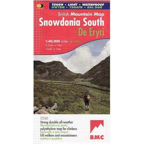
The key mountains of Southern Snowdonia on one map, including Cadair Idris, the Arans and Arenig Fawr printed on polyethylene - durable, tear-resistent and 100% waterproof. This series is made in cooperation with the British Mountaineering Council and include colour shading for easy identification of hills and valleys and a geological map of Snowdonia supplied by the British Geological Survey. It also includes mountain incident and first aid advice, tips on using your map and compass and useful local phone numbers and websites.
Delivery
Read about our delivery policy
Fast Delivery
We deliver to all addresses across the United Kingdom. Most products can be delivered on either a 1-2 working day or 3-5 working day delivery service via Royal Mail or APC.
Non-conveyable and oversized products such as Paddles & Kayaks incur larger delivery charges due to their awkard shape and involve some restrictions on postcodes outside of England.
For oversized parcels to postcodes in Ireland & Scotland, please consider these additional costs, or alternatively, email in before purchasing as we'll be able to provide a tailored quote for your delivery service.
For more information, please see our deliveries page.
Description
Specifications
- Page Size: 125 x 240 mm
- ISBN 10: 1851374698
- ISBN 13: 9781851374694
- Publisher: Harvey Maps
- Published Date: October 2006
- Binding: Waterproof map (folded)
- Weight: 100g
Specification
Type | Maps |
|---|---|
| Mountaineering | |
Location | Snowdonia |