
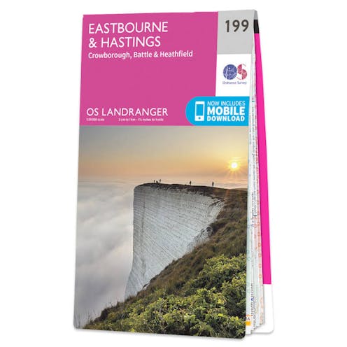
Ordnance Survey Landranger Map 199 - Eastbourne & Hasting, Battle & Heathfield

Code: 53634
£12.99
(Zero VAT)
Map sheet number 199 in the OS Landranger map series is the ideal map for planning days out and holidays on the south coast of England. Explore the farthest point of the South Downs way around Eastbourne and the impressive cliffs of Beachy Head, and the historic towns Hastings and Battle. Other settlements on the map include: Heathfield, Bexhill, Crowborough and Hailsham. The map covers an area of 40 km by 40 km (25 miles by 25 miles).
Delivery
Read about our delivery policy
Fast Delivery
We deliver to all addresses across the United Kingdom. Most products can be delivered on either a 1-2 working day or 3-5 working day delivery service via Royal Mail or APC.
Non-conveyable and oversized products such as Paddles & Kayaks incur larger delivery charges due to their awkard shape and involve some restrictions on postcodes outside of England.
For oversized parcels to postcodes in Ireland & Scotland, please consider these additional costs, or alternatively, email in before purchasing as we'll be able to provide a tailored quote for your delivery service.
For more information, please see our deliveries page.
Description
Specifications
- Publisher: Ordnance Survey
- EAN/ISBN - 9780319262979
Specification
Type | Maps |
|---|---|
| Mountaineering | |
Location | South East England |